Get a free quote for a quick and efficient solution. Our experts use the latest drone technology to inspect various assets, saving time, saving money, and reducing risk. Get a free estimate and make an informed decision about what is best for you. Request your quote today!
Need Drone Photos?
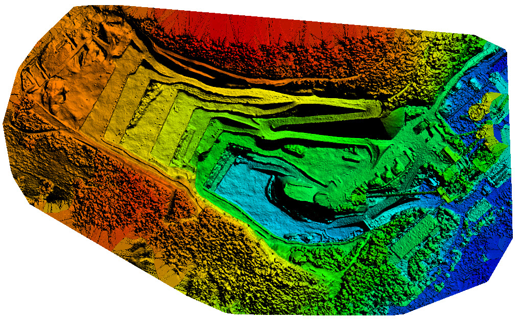
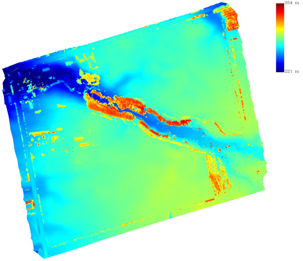
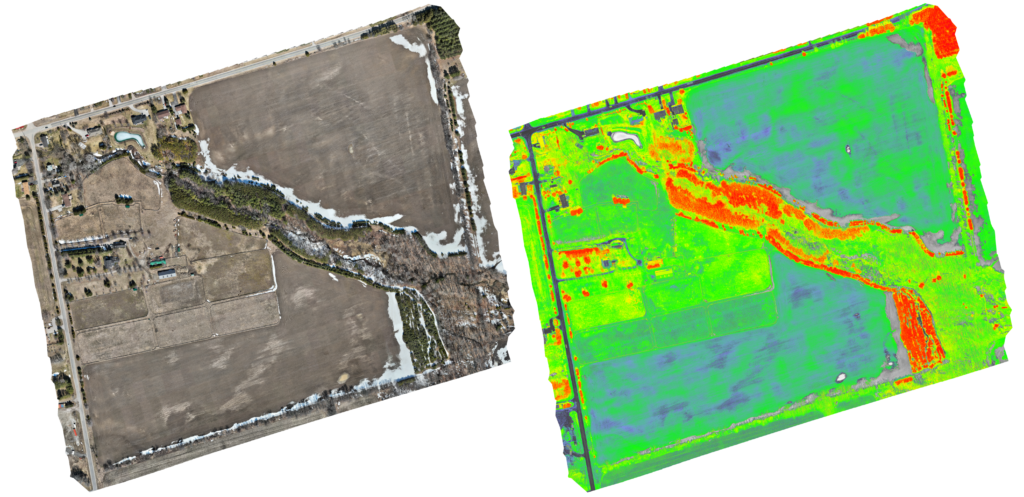
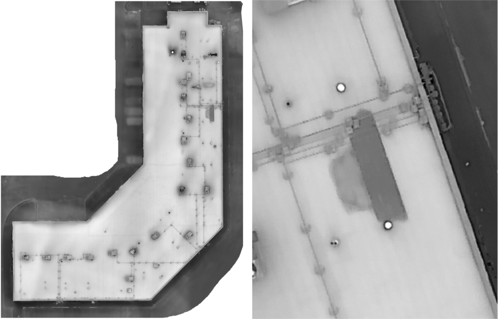
Ontario Drone Survey is here to help with any of your aerial photography needs. Using next-generation equipment we can discover valuable information including detailed multispectral crop health reports, thermal imagery, topography, accurate volumetric information on stockpiles/silos, interactive 3D renders of your entire property, and much more. We also have drones for basic photography jobs, like real estate, marketing, or weddings. All UAV Pilots at Ontario Drone Survey are fully licensed and cleared for Advanced Operations by Transport Canada.
Get a Free Quote
Our Services
What Services Do We Offer?
About
Next Generation Equipment
Ontario Drone Survey is here to help with any of your aerial photography needs. Using next-generation equipment we can discover valuable information including detailed crop health reports, topography, accurate volumetric information on stockpiles/silos, interactive 3D renders of your entire property, and much more. All UAV Pilots at Ontario Drone Survey are fully licensed and cleared for Advanced Operations by Transport Canada.
What to expect
What is The Process?
Stage 1
Planning
Stage 2
Data Collection
Stage 3
Processing
Testimonials
What Clients Say About Us
Make AN Appointment
Estimate Your Project With Us
Contact
Copyright © 2022 Ontario Drone Survey. All rights reserved.
Canadian Roof Management
Industrial Roofing